We decided to go on the two hikes that were available to us. The first walk we took was called, The Valley of the Winds Walk which is along a 7km track that circles several of the domes.And the second walk was called the Walpa Gorge Walk which quite obviously took us through a gorge.
We went back and met up with Larry and Mick at camp, had lunch and then went off to the base of Uluru for a couple more walks. We did not climb Uluru as the park close off the walk both days we were they due to strong winds. In addition the Anangu people, the traditional owners of the land, strongly discouraged climbing the rock due to its significant spiritual importance. The walk is a traditional route taken by ancestral Mala Men in the creation time upon arrival to Uluru.We did however take the Mala Walk and the Mutitjulu Walk.
Both walks have significant spiritual importance as does all of Uluru. The surprising thing was all the beautiful vegetation and even water around this big rock in the middle of the desert. We ended our last day by watching the sunset on Uluru.

The changing colours of Uluru at sunrise.


We thought this "fingerprint" looked pretty cool.

Our camp site at Ayres Rock Resort.

A view of Kata Tjuta (The Olgas) from a lookout.

Some of Kata Tjuta's domes.


More domes from the Valley of Winds walk.

Look out #1

More beautiful scenery. The day itself was nice, probably in the high 20's.

More climbing for us.

Natalie holding up a big rock.

Lookout #2.


Path towards the Walpa gorge.

More gorgeous views.

Some nice tourists offer to take our photo.


Look up look way up.


The end of the road.

Kata Tjuta on the way out.

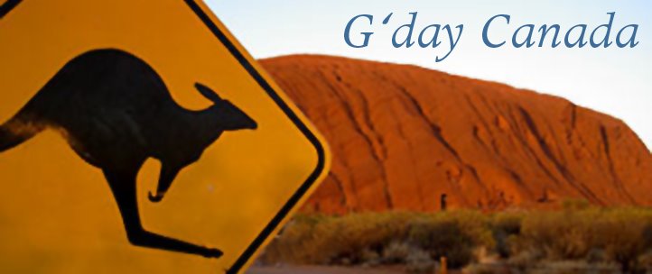
We tried to replicate the photo on the top of the blog. As far as we can tell it must have been doctored as this is the only Kangaroo sign around Uluru. The only thing we can think of is that the trees weren't there a long while ago and they turned the sign.

Paths of the Mala and the Mutitjulu Walks.


Beautiful caves and vegetation throughout both walks.


If you look close we thought this looked like a paw print. Hey Timber!

Love that blue desert sky.

Believe it or not in the middle of the desert along with a big rock there is actually a water source.The Mutitjulu Walk takes you to it.


Rock art. From what we read this area has been painted over and over again on top of the old art over the centuries.

Some of the common symbols. Greg thought we this sort knowledge he would be able to crack the Da Vinci Code.

Top of the waterhole at the end of the Mutitjulu Walk.

Who says you can get water from a rock.

Natalie at the start of sunset.

Both of us in front of "The Rock" during sunset.

The changes colours during sunset.


